Features iPalestine
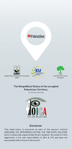
The Applied Research Institute - Jerusalem (ARIJ) and its partner the Land Research Centre (LRC) are Palestinian Non-Governmental Organization working toward monitoring all what is related to Israeli activities and affecting the Palestinian surrounding.
It include activities related to settlements, outposts, the separation wall, land confiscation, hoses demolition, uprooting trees, etc.
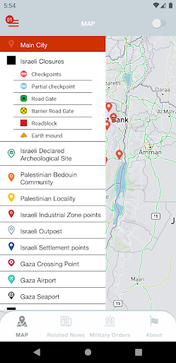
their work is to measure the impact and the implications of the Israeli Colonizing activities in the occupied Palestinian territory (the West Bank-including East Jerusalem, and Gaza) on the Palestinian environment; including the peace process and the “Two State Solution”.This mobile application falls within the project prescribed activities and is intended to provide an online interactive map.
It is meant to act as a bridge to pass on important information related to Israeli settlement activities in the occupied Palestinian territory, and thus gives access to the public with dynamic map legend, including the ability to query each layer attribute data within the map and the ability to pan, zoom, get information, hide and show layers.
Financial Tools
Manage your finances and track your expenses easily.
Smart Home
Control and monitor your home with smart features.
See the iPalestine in Action

Get the App Today
Available for Android 8.0 and above